Location
A coastline with the oldest forest in the world behind it.
Tonekabon sits between the Caspian and the northern wall of the Alborz. What follows is the place the building stands in — the city, the two valleys behind it, the plain above them and the coast either side.
Tonekabon
Tonekabon sits on the Caspian coast of Mazandaran, on the narrow plain between the water and the northern wall of the Alborz. The Cheshmeh Kileh river runs down out of the mountains and through the town to the sea. It is a working city of around fifty-five thousand people rather than a resort built for a season, which is why it stays open through the winter.
What is behind it is the unusual part. The Hyrcanian forest runs eight hundred and fifty kilometres along the southern Caspian and is a relict of the broadleaf forest that covered this latitude twenty-five to fifty million years ago. It survived the Quaternary glaciations here and almost nowhere else. UNESCO inscribed it as a World Heritage Site in 2019. Forty-four per cent of the plant species in Iran grow in it, on seven per cent of the country's land, and the Persian leopard is still in it.
The climate follows from being held between the two. Warm, humid summers and cool, damp winters, with a swimming season that runs from late spring into autumn and a landscape that never goes brown. The county is the first in Iran for citrus — the Shahsavari orange is named after the city's own former name — and it grows kiwi, rice and tea alongside it.
Twenty-five million years of forest on one side, open water on the other.
The city
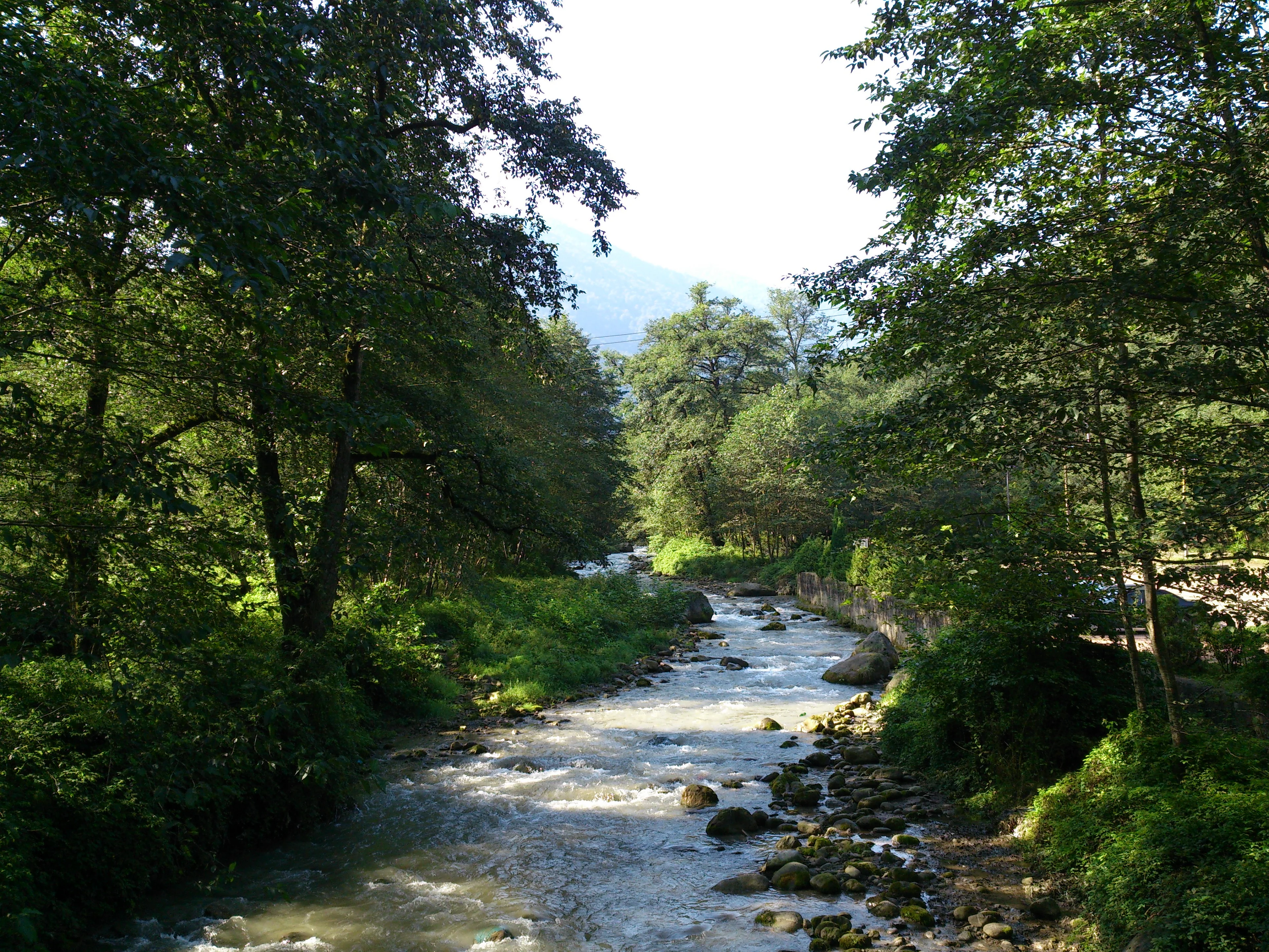
A river coming down out of the forest above the town.
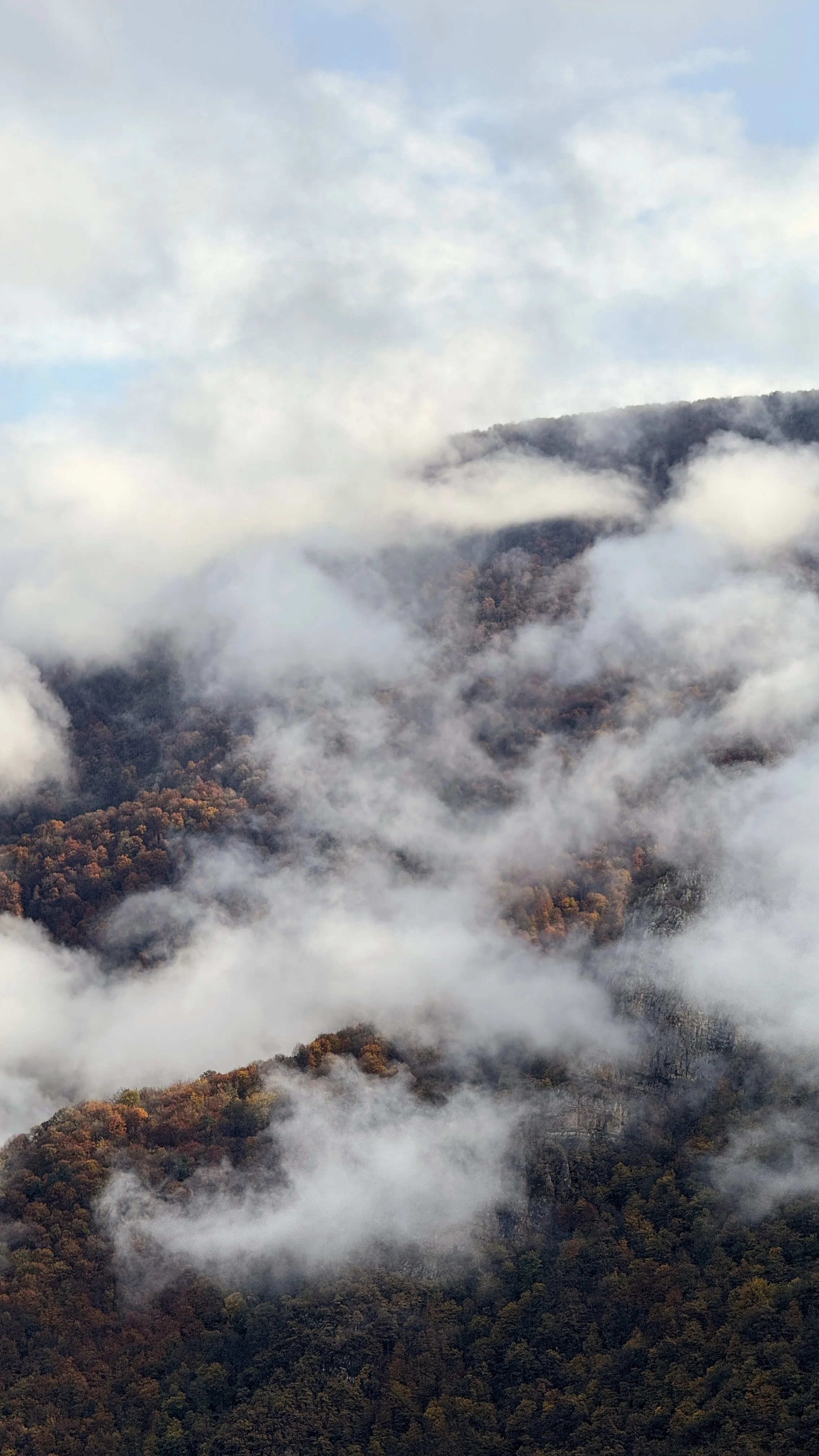
Mist over the forest above the town.
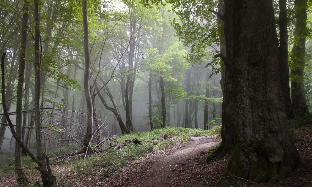
Hyrcanian forest in morning mist.
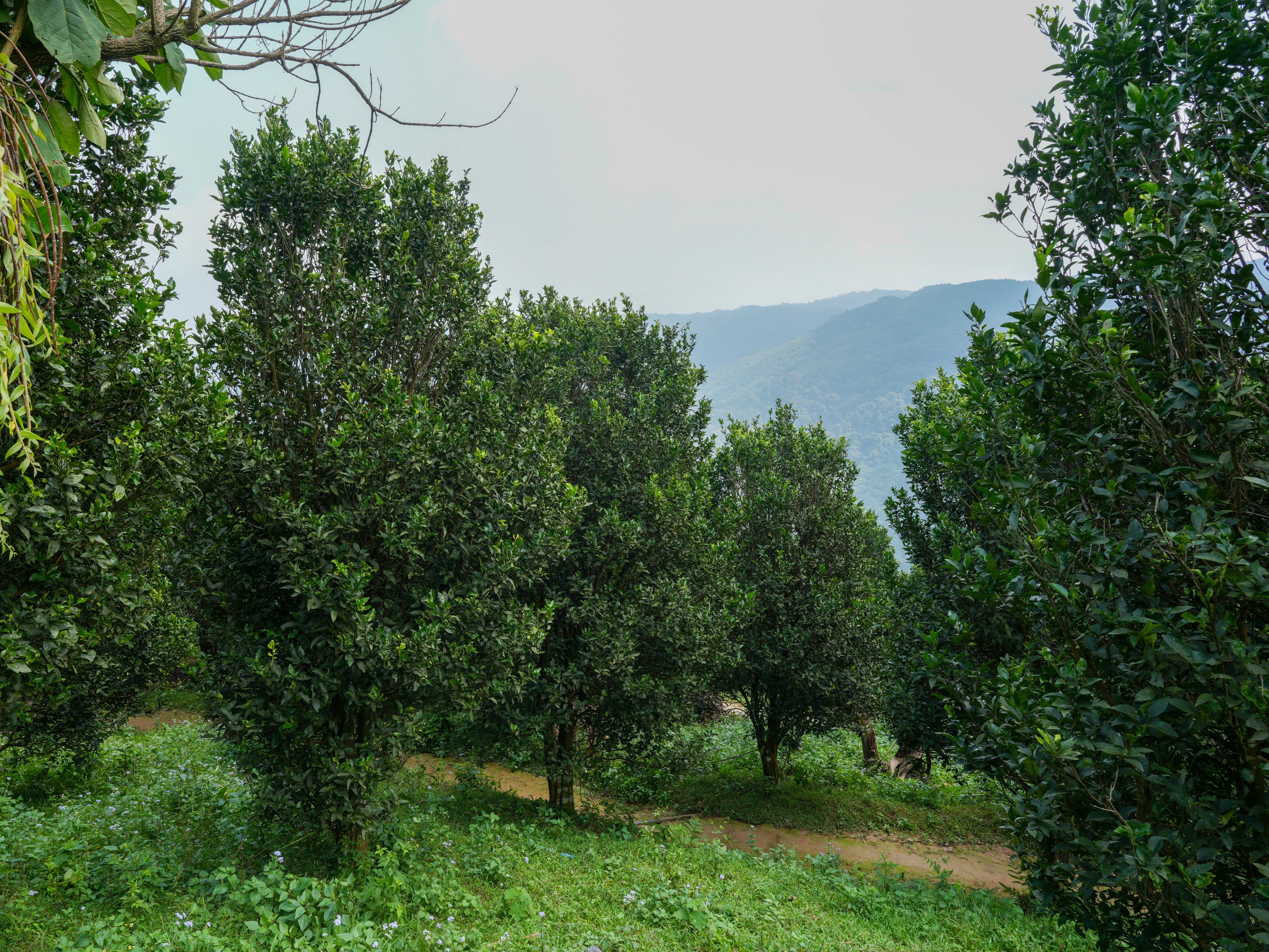
Citrus. The county is the first in Iran for it.
Do Hezar · Se Hezar
Do Hezar and Se Hezar are named for the rivers that made them — two in one valley, three in the other. They open south off the Chalus road just outside Tonekabon and run up into the Alborz through some of the densest surviving Hyrcanian forest: beech, ash, hornbeam and oriental plane, closing overhead until the road is a green tunnel. In late October the whole of it turns at once.
The rivers are the reason the valleys look the way they do. They run clear and fast off the snowline, braiding across shingle beds wide enough to read as small floodplains, with pasture on the terraces above them and the forest closing in on both sides.
None of this is a day trip planned in advance. It is what is behind the building — close enough that a morning in the forest and an afternoon on the beach is an ordinary way to spend a Friday.
Beech and hornbeam closing overhead until the road is a green tunnel.
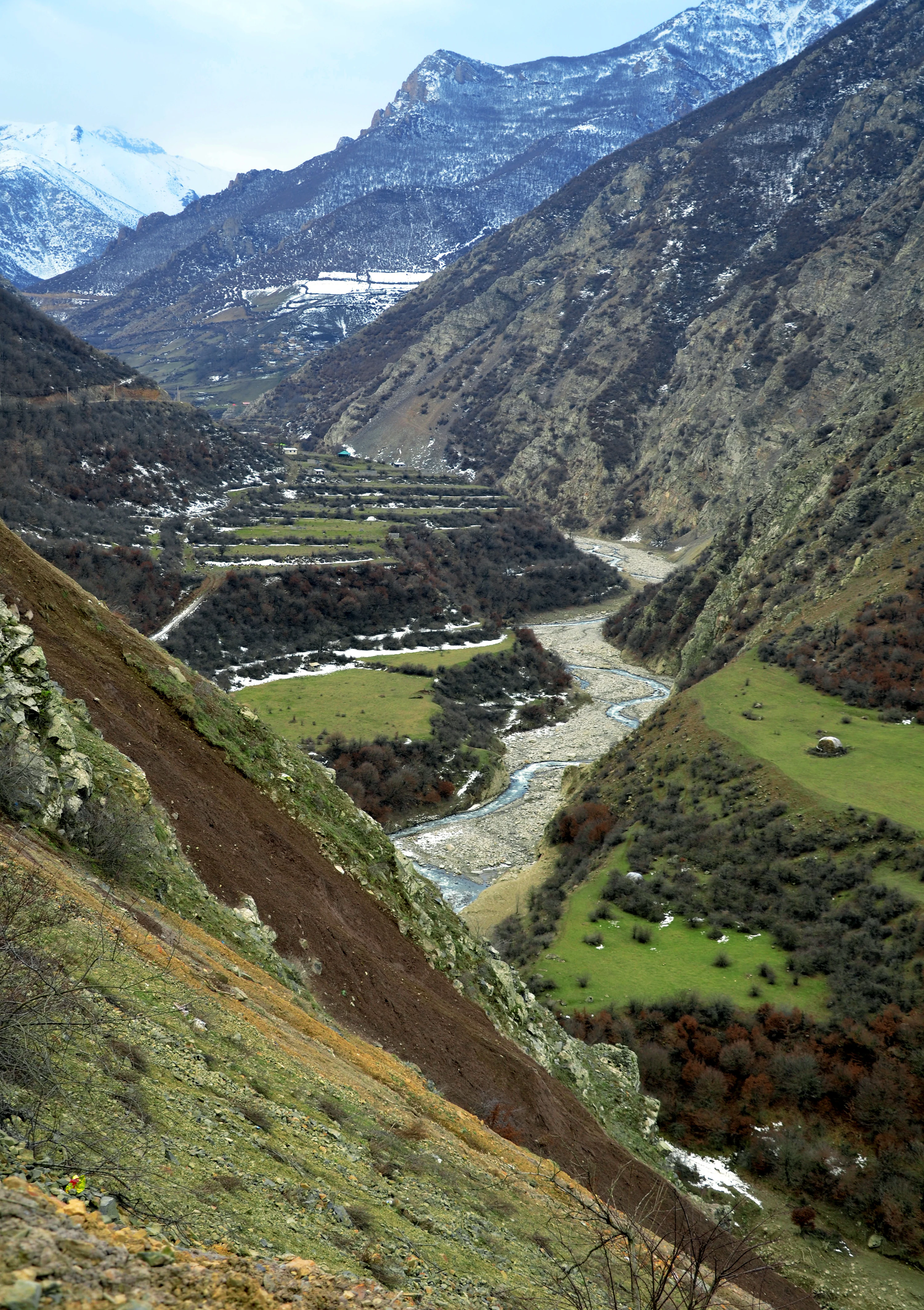
The Se Hezar valley, inland from Tonekabon.

The road inland, under the canopy.
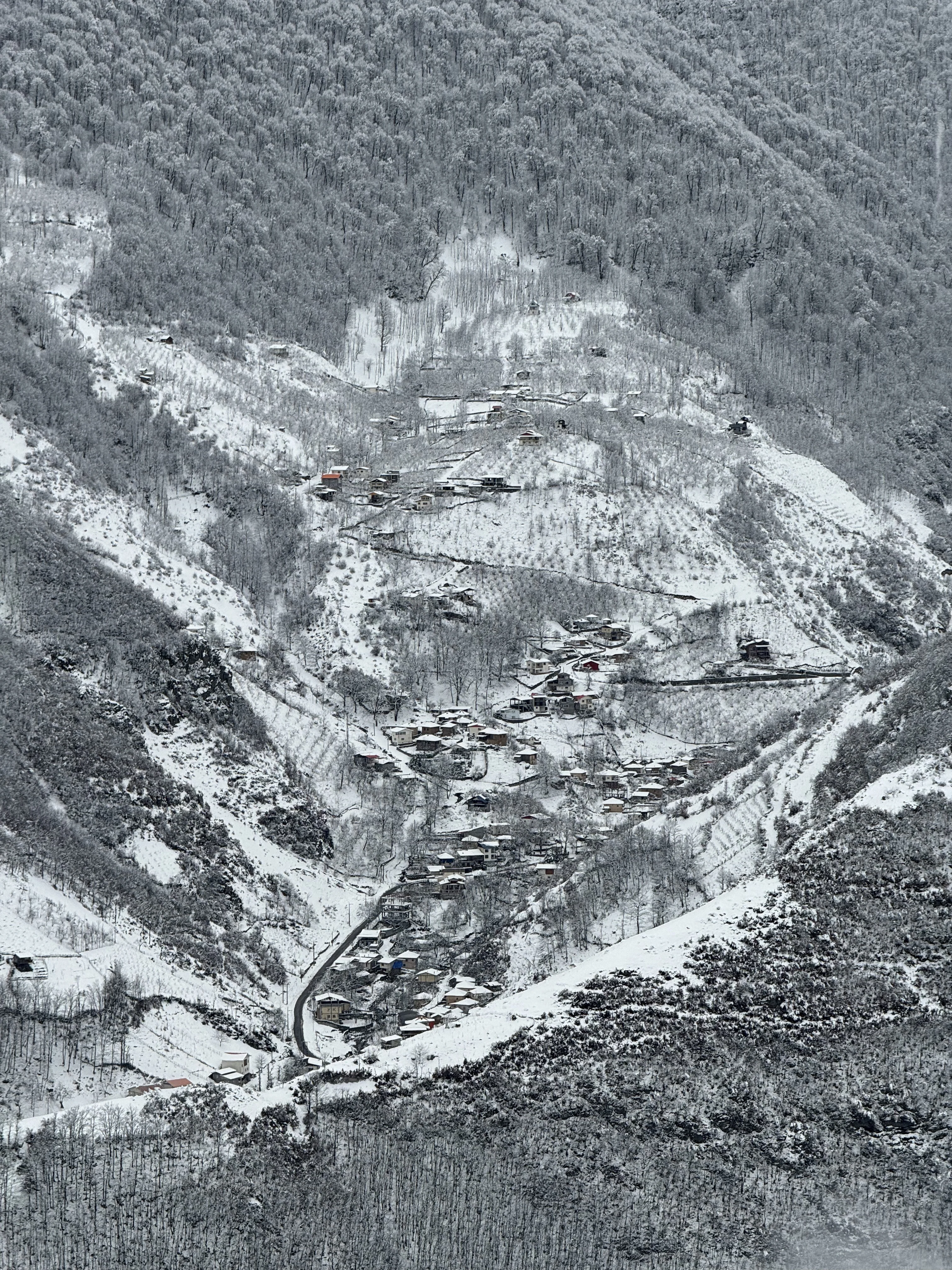
A Do Hezar village under snow, on the slope above the valley floor.
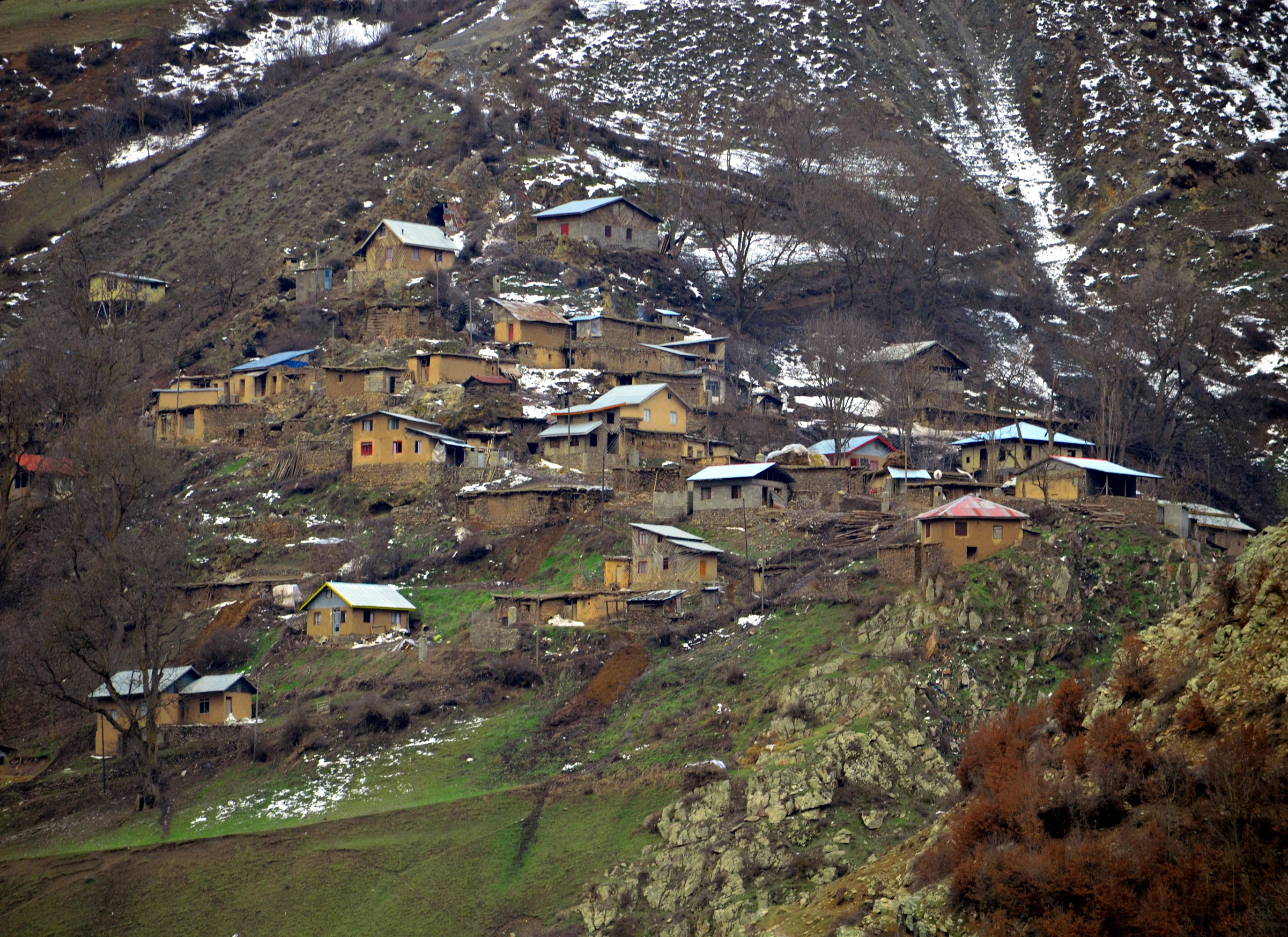
Yuj, one of the settlements in the Se Hezar valley.
Daryasar
Thirty-five kilometres above the town, past the last of the forest, the ground opens into Daryasar. It is a plain at roughly two thousand metres, ringed by peaks, and it is fed by so many springs that it is genuinely difficult to find dry ground on it in spring. The meltwater braids across the grass in a dozen shallow channels rather than cutting a single bed.
In early summer the whole of it comes up yellow with wildflowers, which is when it is photographed and what most people who have been there describe first. It is grazed rather than farmed, and there is nothing built on it.
Geographically it is a seam. Daryasar is the point where the wet Caspian forest gives out and the dry Alamut highlands begin — two landscapes that have no business being within sight of each other, visible from the same standing position.
So many springs that it is hard to find dry ground in spring.
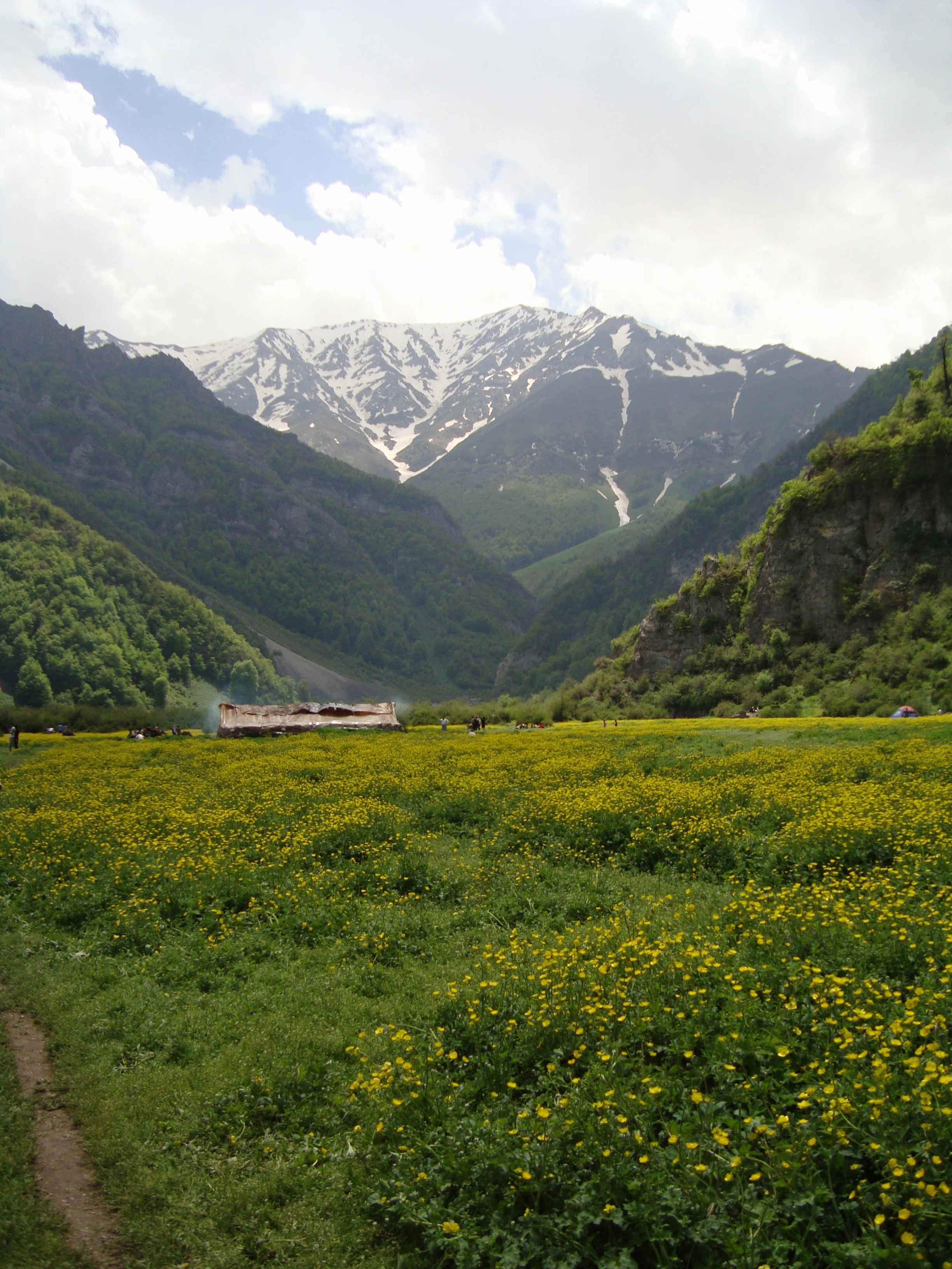
Daryasar in early summer, under wildflower.
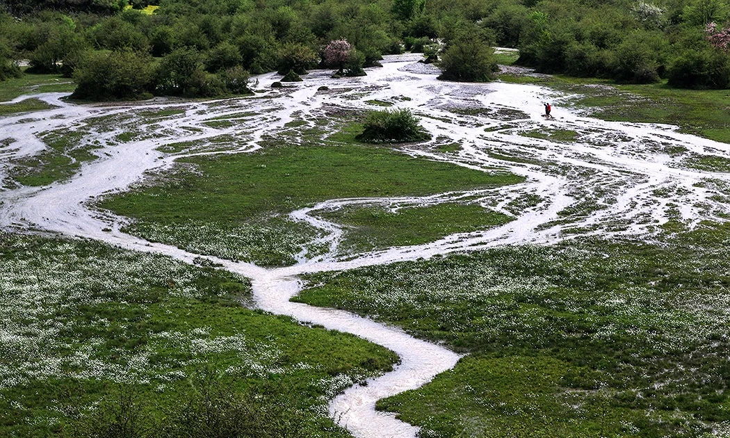
Spring meltwater braiding across the plain.

The plain sits where the Caspian forest gives out.
The coast and getting here
Ramsar airport is under twenty minutes from the building by car. For a second home that matters more than any other number on this page: it is the difference between a weekend that starts on Friday morning and one that is spent driving. The Chalus road from Tehran — two hundred and fifty-seven kilometres of canyon and forest, and a drive people make for its own sake — is the alternative.
The coastline itself runs flat and open either side of the town, sand rather than shingle, with the mountains visible behind it along its whole length. Tonekabon's own front is a working one — a fish market, boats pulled up, the Cheshmeh Kileh coming down out of the hills and crossing under the old arched bridge in the middle of town on its way to the sea.
Getting here
Drive time to Ramsar airport is the owners' own figure. Everything else is a published road distance.

The Cheshmeh Kileh bridge, Tonekabon.
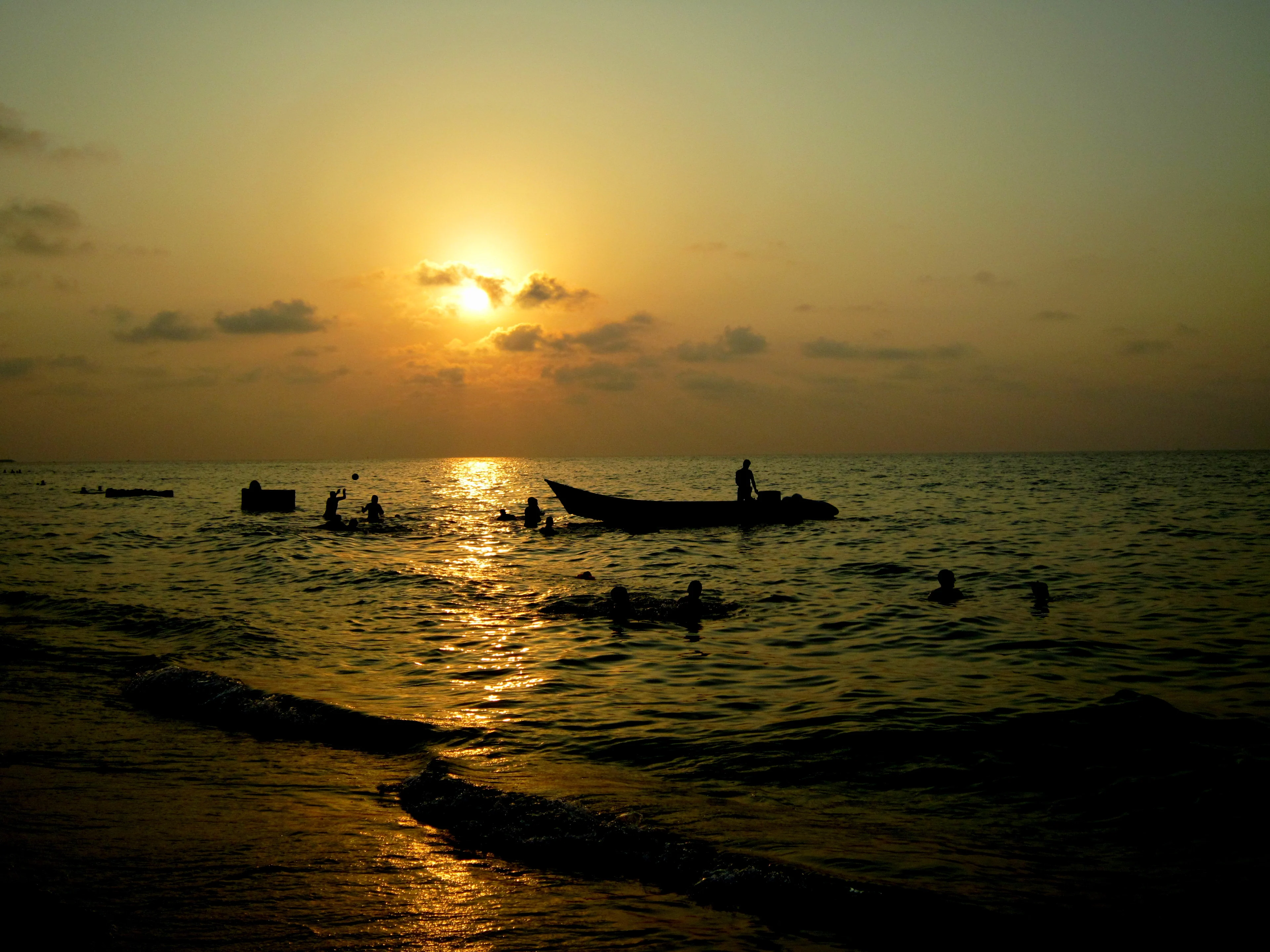
The shoreline either side of the town.
The site
Where it stands.
Shirudi Boulevard, on the coast at Tonekabon. The tower is set on the beach itself, with the town behind it and the coast road running back from the shoreline rather than across it.

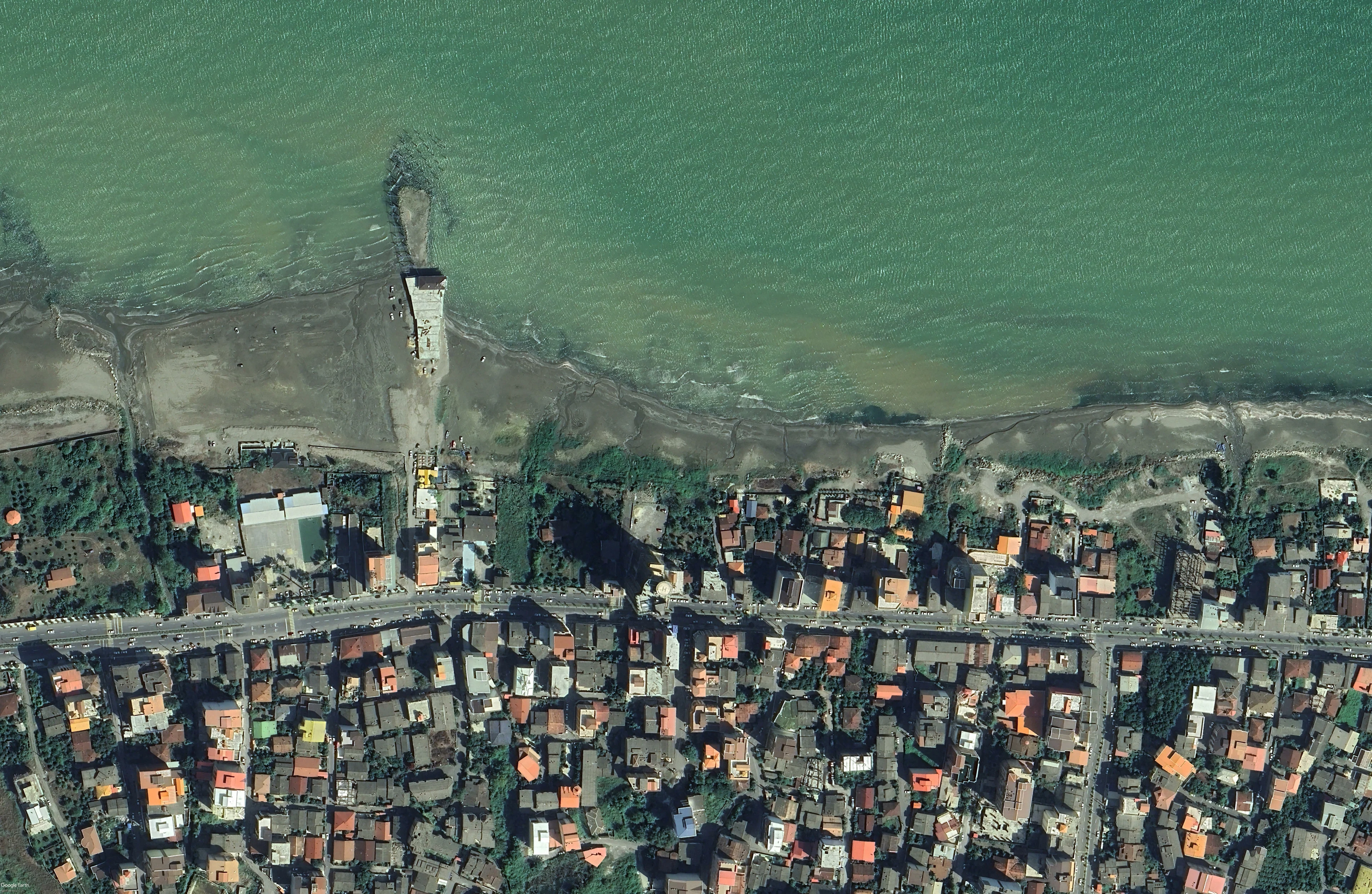
Satellite imagery of the plot and the immediate coastline.